Understanding the high seas is the first step toward protecting them.
by Tara Santos and Eleanor Bent, Marine Conservation Institute
The high seas cover nearly half of Earth’s surface.
They connect continents, regulate the Earth’s climate, and provide habitat for some of the planet’s most remarkable biodiversity.
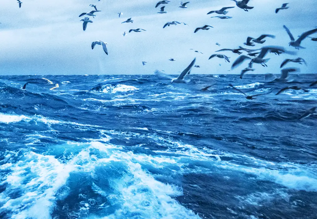
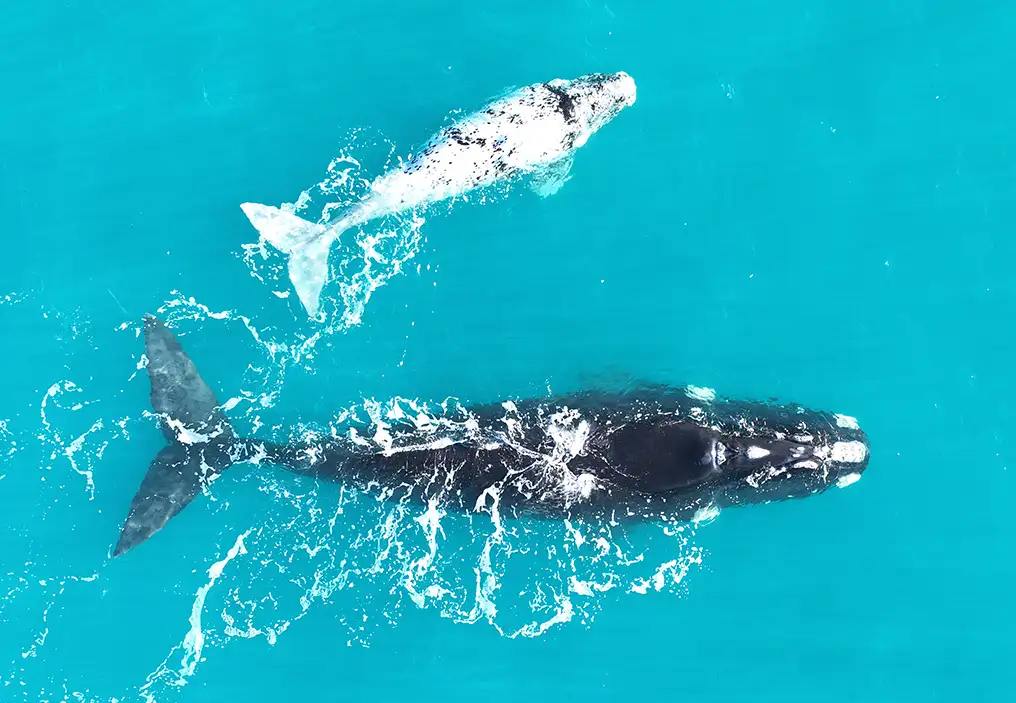
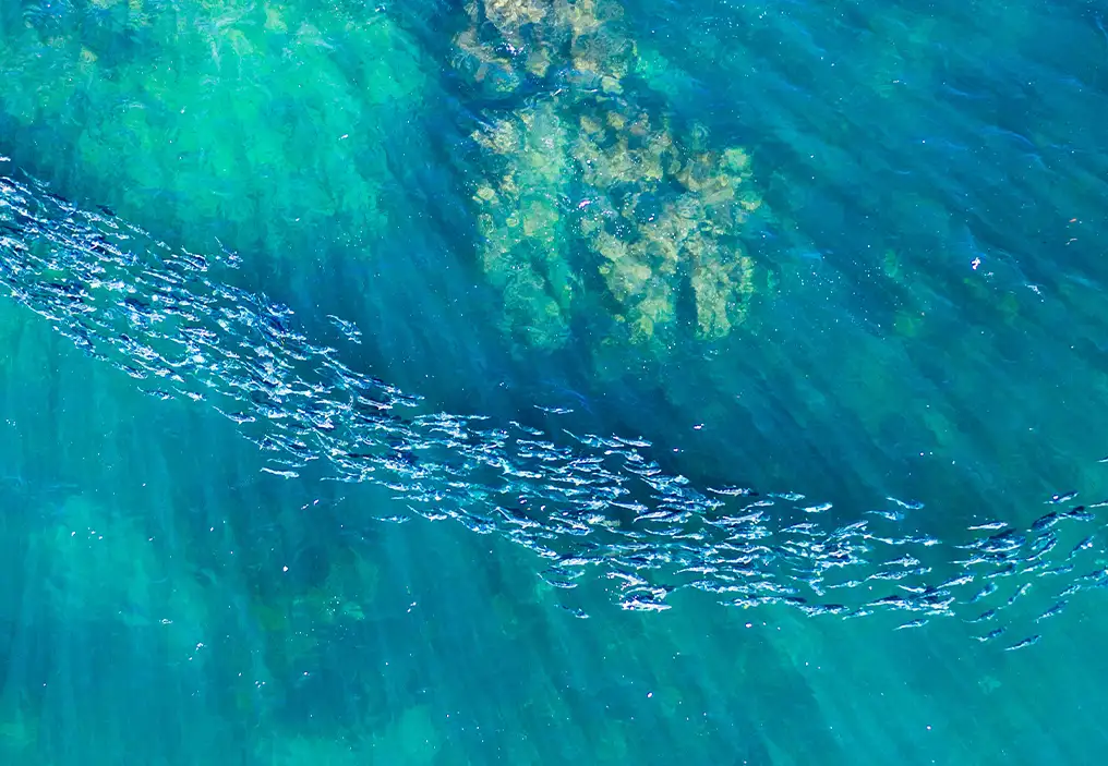
Beneath their surface lie underwater mountain ranges that support thriving deep-sea communities, while above them, sharks, sea turtles, seabirds, whales, and countless other species migrate across entire ocean basins.
Despite their recognised ecological importance, protecting the high seas has always been uniquely challenging.
For one thing, understanding these vast areas requires bringing together information collected by scientists, governments, international organisations, and conservation groups from around the world.
Unlike coastal waters, the high seas lie beyond the jurisdiction of any one country, and until recently, there was no global coordinating mechanism to protect their biodiversity.
This changed in January of this year, when the Agreement on Biodiversity Beyond National Jurisdiction (BBNJ Agreement, also called the “High Seas Treaty”) entered into force, allowing countries – for the first time – to propose marine protected areas (MPAs) in international waters.
Before an MPA can be proposed, governments who are parties to the BBNJ Agreement must first answer a series of fundamental questions:
- What habitats make this area ecologically important?
- Which species depend on it?
- What human activities occur there?
- Are there already management measures in place?
Answering these questions has traditionally required searching across dozens of databases, reports, and mapping platforms, each holding an important piece of the puzzle, but rarely enough to complete the whole picture.
Developed by Marine Conservation Institute, the High Seas Protection Portal was created to help meet that need.
By bringing together authoritative geospatial datasets into a single interactive platform, the Portal aims to support scientists, policymakers, conservation practitioners, and local communities to explore the information needed to understand areas beyond national jurisdiction and build strong MPA proposals.
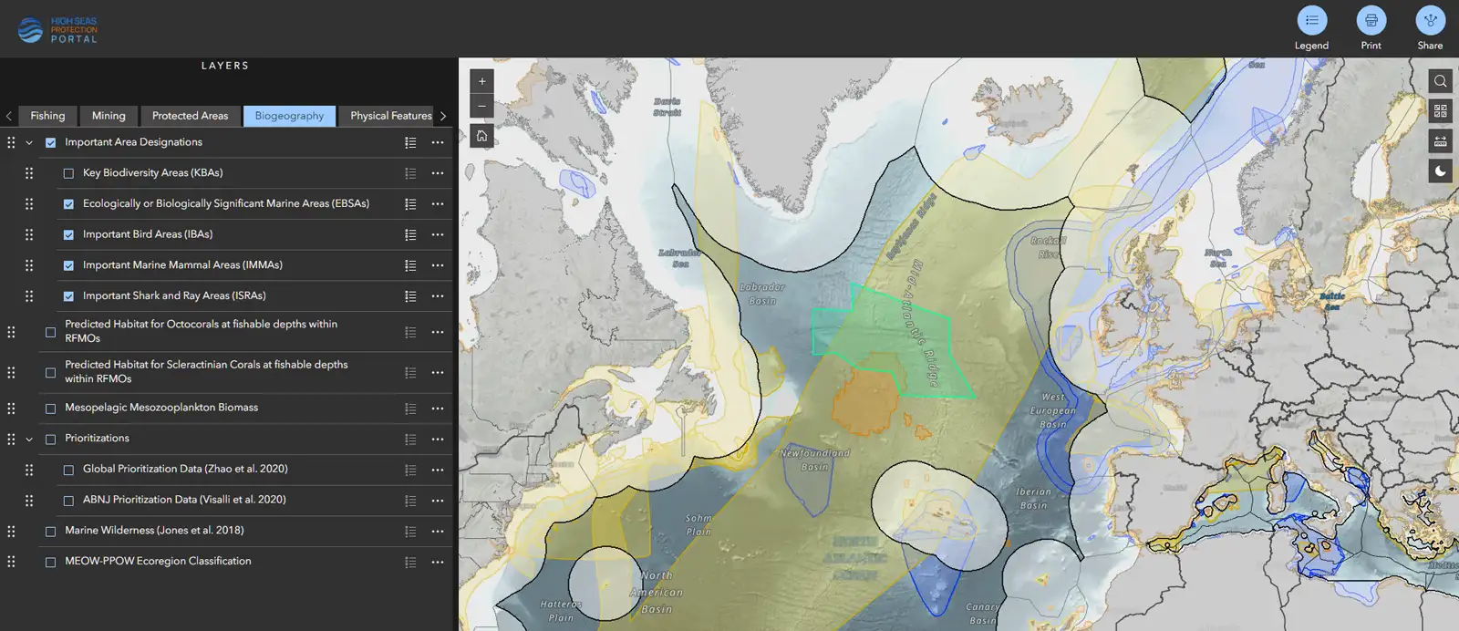
Caption: The High Seas Protection Portal, along with data layers that can be toggled on or off. Credit: Tara Santos, Marine Conservation Institute.
Here are four ways the High Seas Protection Portal can support the next generation of MPAs.
1. Identifying important places
The ocean rarely fits neatly within the boundaries we draw on it.
A single location can support vulnerable deep-sea corals, serve as a migration corridor for whales, provide feeding grounds for seabirds, and sustain populations of commercially important fish species – all at the same time.
This is why scientists have worked to identify areas that are important for conservation across the ocean.
Ecologically or Biologically Significant Marine Areas (EBSAs), identified through the Convention on Biological Diversity, are one example of these efforts.
EBSAs don’t confer any protections on their own, but they help identify areas that deserve closer attention because of the unique role they play in supporting ocean life.
The Charlie-Gibbs Fracture Zone, located along the Mid-Atlantic Ridge, is one such area.
Powerful ocean currents flow through this deep fracture system, bringing nutrient-rich waters to the surface and creating conditions that support fish, seabirds, and whales, while sponge communities and cold-water corals thrive on the seabed below.
By allowing users to overlay additional data layers on top of identified EBSAs, including other areas that have been identified as important for biodiversity, The High Seas Protection Portal helps illuminate what makes places like the Charlie-Gibbs Fracture Zone important, and worth protecting.
2. Understanding where biodiversity and threats overlap
A seamount is much more than an underwater mountain.
Currents flowing around its slopes bring nutrients toward the surface, creating conditions that support deep-sea corals, sponges, fish, and countless other species.
Many seamounts also serve as important stopovers or feeding grounds for migratory wildlife.
At the same time, these productive ecosystems can overlap with commercial fishing activity, making them both ecologically valuable and vulnerable.
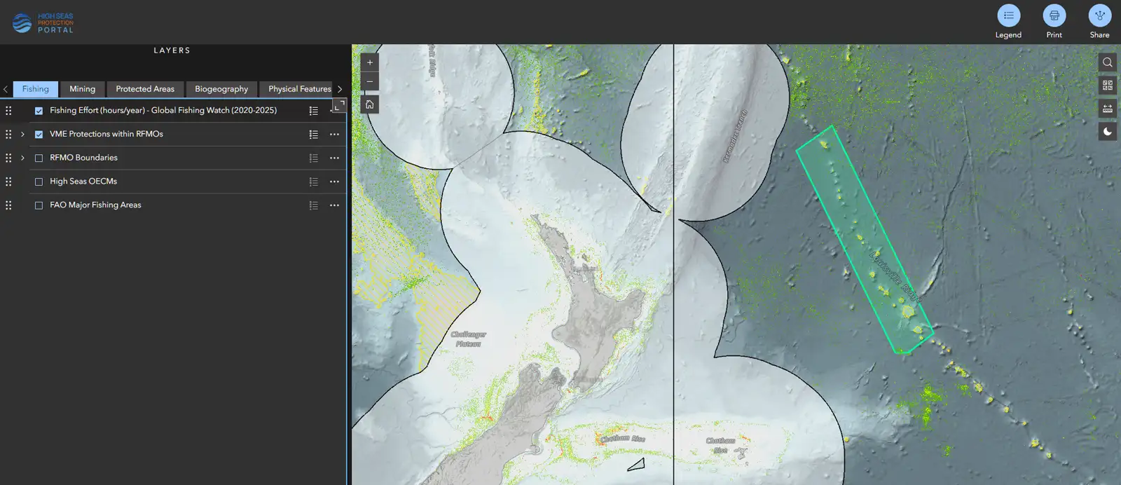
The Central Louisville Seamount Chain in the South Pacific illustrates this complexity.
Recognised as an EBSA, it is known for its unique biodiversity and vulnerable deep-sea habitats.
Looking at a single dataset may show the location of the seamounts, but combining additional layers such as predicted deep-sea coral habitat, fishing effort, and existing area-based management tools – or lack thereof – provides a much more complete picture of how the region is threatened.
Rather than viewing biodiversity, human activities, and existing protections as separate topics, the High Seas Protection Portal allows users to explore how they intersect, helping identify:
- Where biodiversity is concentrated,
- Where pressures overlap with important habitats, and
- Where conservation efforts may have the greatest impact.
3. Turning evidence into protection
Understanding important areas and how they are threatened is only the beginning.
The next challenge is building a shared foundation of knowledge to inform conservation decisions.
The BBNJ Agreement has created an unprecedented opportunity for countries to establish MPAs in areas beyond national jurisdiction. But turning that opportunity into effective conservation requires decisions grounded in the best available science.
Developing an MPA proposal under the BBNJ Agreement will entail considering biodiversity, ecological significance, existing management measures, and human activities together, information that has traditionally required searching across multiple organisations and databases before meaningful analysis could even begin.
In this way, scientists and policymakers can bypass laborious searching and focus instead on evaluating areas of interest and building the strong scientific evidence needed to support conservation.
4. Supporting smarter conservation over time
Protecting the high seas will also require collaboration across the many organisations and institutions that already manage activities beyond national jurisdiction.
No single body governs the high seas.
Regional fisheries management organizations regulate fishing.
The International Maritime Organization oversees shipping.
The International Seabed Authority manages the seabed.
Governments, scientists, conservation organizations, Indigenous Peoples, and local communities all contribute knowledge that informs conservation planning, and coalitions like the High Seas Alliance, Deep Sea Conservation Coalition, and Coral Reefs of the High Seas Coalition are many of the non-governmental organizations and foundations working to further high seas protections.
Understanding how existing management measures fit together is an important part of this work. Knowing where protections are already in place, where responsibilities overlap, and where gaps remain can help countries develop MPA proposals that complement, rather than duplicate, existing efforts.
Our understanding of the high seas continues to evolve.
Every satellite pass, research expedition, habitat survey, and technological advance adds to our knowledge of one of the largest and least explored parts of our planet. Improved ocean mapping is revealing seafloor features in greater detail, while long-term monitoring is deepening our understanding of how species and ecosystems respond to a changing ocean.
The High Seas Protection Portal is designed to evolve alongside this growing body of knowledge. As new datasets become available, the Portal will continue to expand, providing an increasingly comprehensive resource for scientists, governments, conservation practitioners, and others working to understand and protect the high seas.
Scientific data, however, is only one part of the picture.
Traditional ecological knowledge held by Indigenous peoples, local knowledge from communities with long-standing relationships to the ocean, and the experience of those working on the water all offer valuable information that can strengthen conservation planning and the development of future marine protected areas.
Protecting the high seas will require all these knowledge systems working together.
The High Seas Protection Portal is one contribution to that shared effort.
By making credible scientific information more accessible, the portal helps build the evidence base needed to inform conservation decisions, while complementing the many other sources of knowledge that contribute to protecting biodiversity beyond national jurisdiction.
The High Seas Protection Portal is designed to evolve alongside this growing body of knowledge. As new datasets become available, the Portal will continue to expand, providing an increasingly comprehensive resource for scientists, governments, conservation practitioners, and others working to understand and protect the high seas.
The High Seas Protection Portal is an evolving resource, and your feedback is an important part of that process. We invite you to explore the Portal, discover the data that is helping inform high seas conservation, and share your ideas as we continue to improve the platform.